
How to Climb Hoverla
Hoverla is the highest mountain in Ukraine (2,061 m) and one of the Carpathian peaks that can be climbed in a single day without mountaineering equipment. The most popular route starts at the Zaroslyak sports base, where two marked trails lead to the summit: a shorter, steeper blue trail and a longer, gentler green trail.
For your first experience of the Ukrainian Carpathians, climbing Hoverla is a very accessible option. However, the mountain’s popularity does not mean you can skip preparation. You will need to gain around 800 m in elevation in a single day, spend several hours on the trail, and save enough energy for the descent.

Hoverla at a Glance
- Summit elevation: 2,061 m.
- Starting elevation at Zaroslyak: approximately 1,250–1,300 m.
- Elevation gain: approximately 800 m.
- One-way distance: ≈3.7 km via the blue trail or ≈4.3 km via the green trail.
- Ascent time: approximately 2.5–4 hours.
- Ascent and descent: approximately 5–7 hours, including breaks.
- Best conditions for beginners: the warmer months, when there is no persistent snow cover and the weather forecast is stable.
- Start time: preferably in the morning, allowing plenty of daylight.
For more detailed information, we recommend reading our separate article about Hoverla on our blog.
Which Route Should You Take to Climb Hoverla?
The most convenient option for a first one-day ascent starts at Zaroslyak. The trail initially passes through the forest, then through a zone of dwarf pine scrub, before emerging onto the open slopes of the Chornohora range.


From the starting point, you can choose either the blue or green marked trail.
| Blue Route | Green Route | |
|---|---|---|
| One-way distance | ≈3.7 km | ≈4.3 km |
| Trail characteristics | Shorter, steeper | Longer, gentler |
| Elevation gain | ≈800 m | ≈800 m |
| Physical effort | More intense | More evenly distributed |
| Best suited for | Hikers in good physical condition | Beginners and those who prefer a more relaxed pace |
| Descent | Steeper | Gentler and less demanding on the knees |
A popular option is to climb via the blue trail and descend via the green trail. This makes the route more varied, while the gentler descent is easier on your legs. After rain, steep sections can become slippery, so make your final decision based on the condition of the trails.
Other Routes to Hoverla
From the Zakarpattia side, you can climb from the Kozmeshchyk area via the Gropa mountain meadow. This is a longer, less crowded route that is better suited to hikers with some previous experience.
Hoverla can also be part of a multi-day trek along the Chornohora ridge, for example, combined with Mount Petros or continued via Breskul, Turkul, and other peaks. For a first ascent with a return on the same day, Zaroslyak remains the simplest option.
How to Get to Zaroslyak
The nearest popular tourist hub is Vorokhta. From there, you can reach Zaroslyak by private car, taxi, or transfer.

Be prepared for varying road conditions: after the checkpoint at Carpathian National Nature Park, there are approximately 8 km of gravel road with stones and potholes. Passenger cars can make the journey, but you should drive carefully.
Access to the park’s recreational area is subject to an entrance fee. At the checkpoint, your documents may be checked, and individual hikers or groups may be registered. Due to current restrictions in border areas, it is advisable to carry your passport or have an electronic document available in the Diia app and check the latest requirements before travelling.
There is parking and basic tourist infrastructure near Zaroslyak. You should not expect similar facilities along the trail itself.
When Is the Best Time to Climb Hoverla?
For a first ascent, the best conditions are during the warmer months, when there is no persistent snow cover. However, even in summer, the weather at elevations above 2,000 m can change rapidly: sunshine can give way to rain, strong winds, fog, or thunderstorms.
Check the forecast specifically for the mountainous area, paying attention not only to temperature but also to precipitation, wind, and the likelihood of thunderstorms.
It is best to set off in the morning. This gives you extra time if the group moves more slowly than expected and reduces the risk of being caught on an exposed slope during a thunderstorm, which often develops in the mountains during the second half of a summer day.
What to Wear and Bring
Even if Vorokhta is warm and sunny, conditions at the summit can be completely different. You do not need mountaineering equipment for a summer ascent, but proper hiking footwear and protection against bad weather are essential.

A backpack of approximately 20–30 litres is sufficient for a one-day hike. It should contain:
- Hiking boots or shoes with a good-grip, lugged sole.
- A windproof and waterproof jacket.
- A fleece or another warm mid-layer.
- A hat and spare socks.
- Water and snacks.
- Sunglasses and sunscreen.
- A first-aid kit and any personal medication.
- A fully charged phone, a power bank, and a headlamp.
- An offline map or GPS track downloaded in advance.
Trekking poles are not essential, but they can make the descent considerably easier. Do not assume you will be able to refill your water along the way: there is no guaranteed water source on the exposed upper section of the route or at the summit.
Can Beginners and Children Climb Hoverla?
The classic summer route from Zaroslyak is suitable for a first mountain hike. No special mountaineering training is required, but you should be prepared to walk uphill for several hours and then cover the entire distance back to the starting point.
It is best to maintain a steady, comfortable pace rather than trying to keep up with faster hikers. One of the most common mistakes beginners make is using up almost all their energy before reaching the summit and underestimating the descent.
Children can also climb Hoverla, provided they are accustomed to long walks. Age alone is not a reliable indicator of whether a child is ready: physical fitness and previous hiking experience matter more. For a family hike, the gentler green trail is usually the more comfortable option.

Navigation, Mobile Coverage, and Safety
On a popular summer day, there may be many people on the trail, but this is no reason to rely on others for navigation. Visibility can deteriorate rapidly in fog, so download an offline map or GPS track in advance.
Mobile coverage is unreliable along the route. The signal may disappear in the forest and on certain slopes, while reception is generally more reliable at the summit. Before setting off, it is also worth installing the Rescue in the Mountains app, saving the contact details of the mountain rescue service, and informing someone close to you of your planned route and approximate return time.
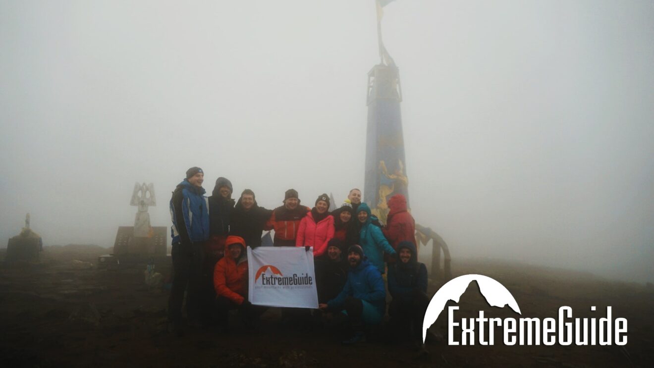
If a thunderstorm develops, visibility deteriorates sharply, or anyone in the group becomes exhausted, turn back. Trying to “make a quick dash” for the summit during a thunderstorm is especially dangerous: above the tree line, hikers are exposed on the open slopes.
Do You Need a Guide?
In dry, stable weather during the warmer months, many hikers complete the marked routes from Zaroslyak independently. A guide is not essential for this type of ascent.
A guide is worth considering if this is your first mountain hike, you are unsure about navigation, or you would prefer to leave the logistics, route selection, and assessment of conditions during the hike to an experienced professional.
What About Winter?
Climbing Hoverla in winter is very different from doing so in summer. Snow can cover the trails and trail markings, icy sections become more common, temperatures drop, winds strengthen, and navigation becomes more challenging.
Equipment should be selected according to the actual conditions. Crampons, an ice axe, and avalanche safety equipment may be necessary. Experience climbing Hoverla in summer is not, by itself, sufficient preparation for a winter ascent. Beginners are therefore better off going with an experienced guide.


What Do Hikers Most Often Underestimate About Hoverla?
The most common mistakes are rarely related to the technical difficulty of the trail. Instead, they stem from poor planning: setting off too late, wearing everyday shoes, failing to bring warm and waterproof clothing, carrying too little water, ignoring the weather forecast, and being determined to reach the summit at all costs.
Hoverla is accessible to beginners precisely when it is not treated as an ordinary walk. Choosing the right route, starting early, bringing suitable equipment, and being prepared to turn back if conditions deteriorate are far more important than how quickly you reach the summit.
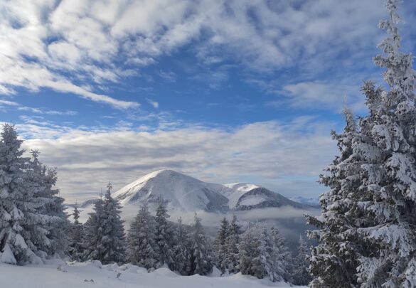
For many people, Hoverla becomes their first true Carpathian summit. From there, you can see Mount Petros and the long Chornohora ridge stretching into the distance — a great hint at where to head on your next adventure.
On Govrela with ExtremeGuide
 Ukraine

Dates:
December 26 – December 29
January 16 – January 19
February 20 – February 23
March 13 – March 16
Complexity:
Duration:
Height:

Left: 6 places
 Carpathians
Dates:
Complexity:
Duration:
Height: